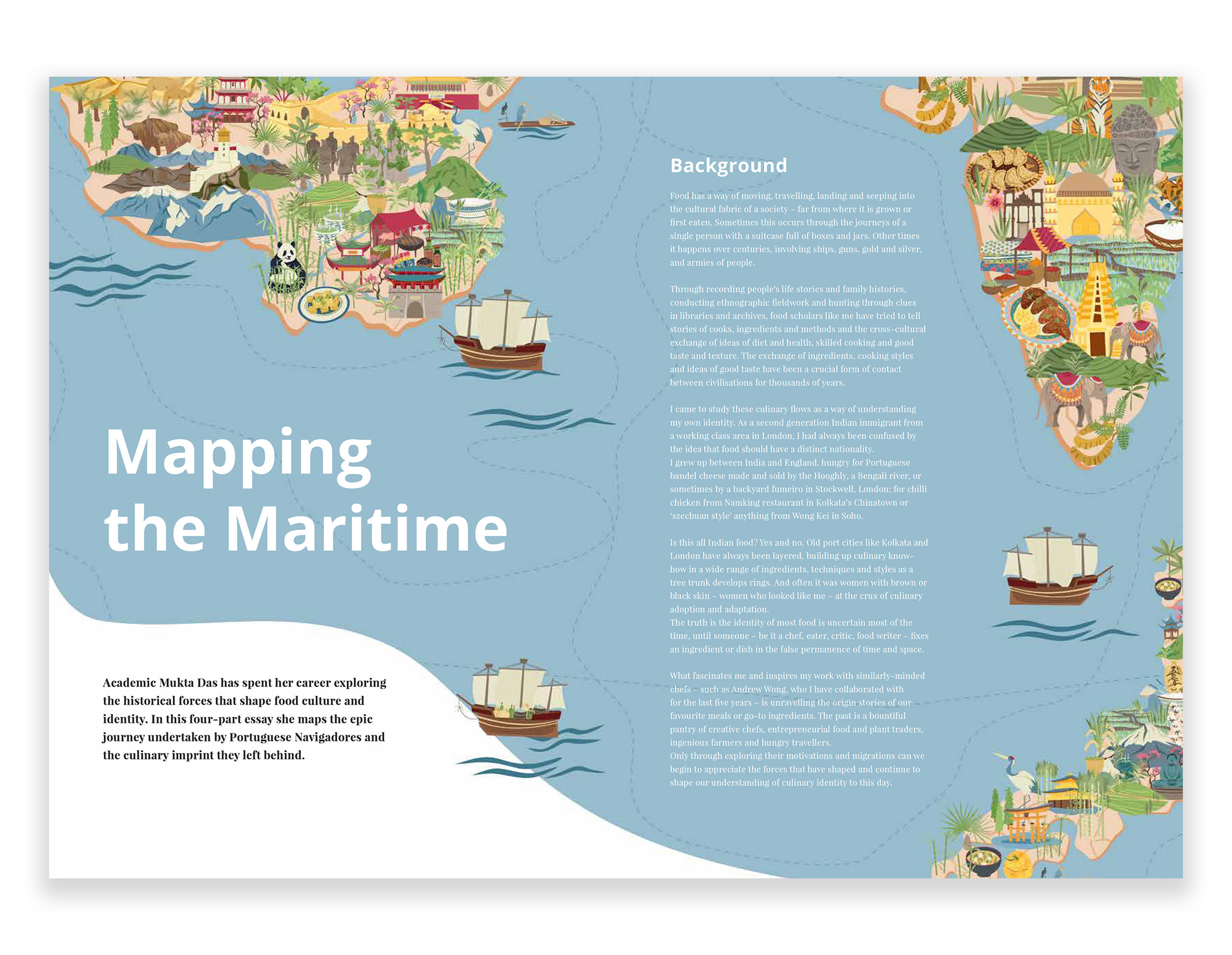
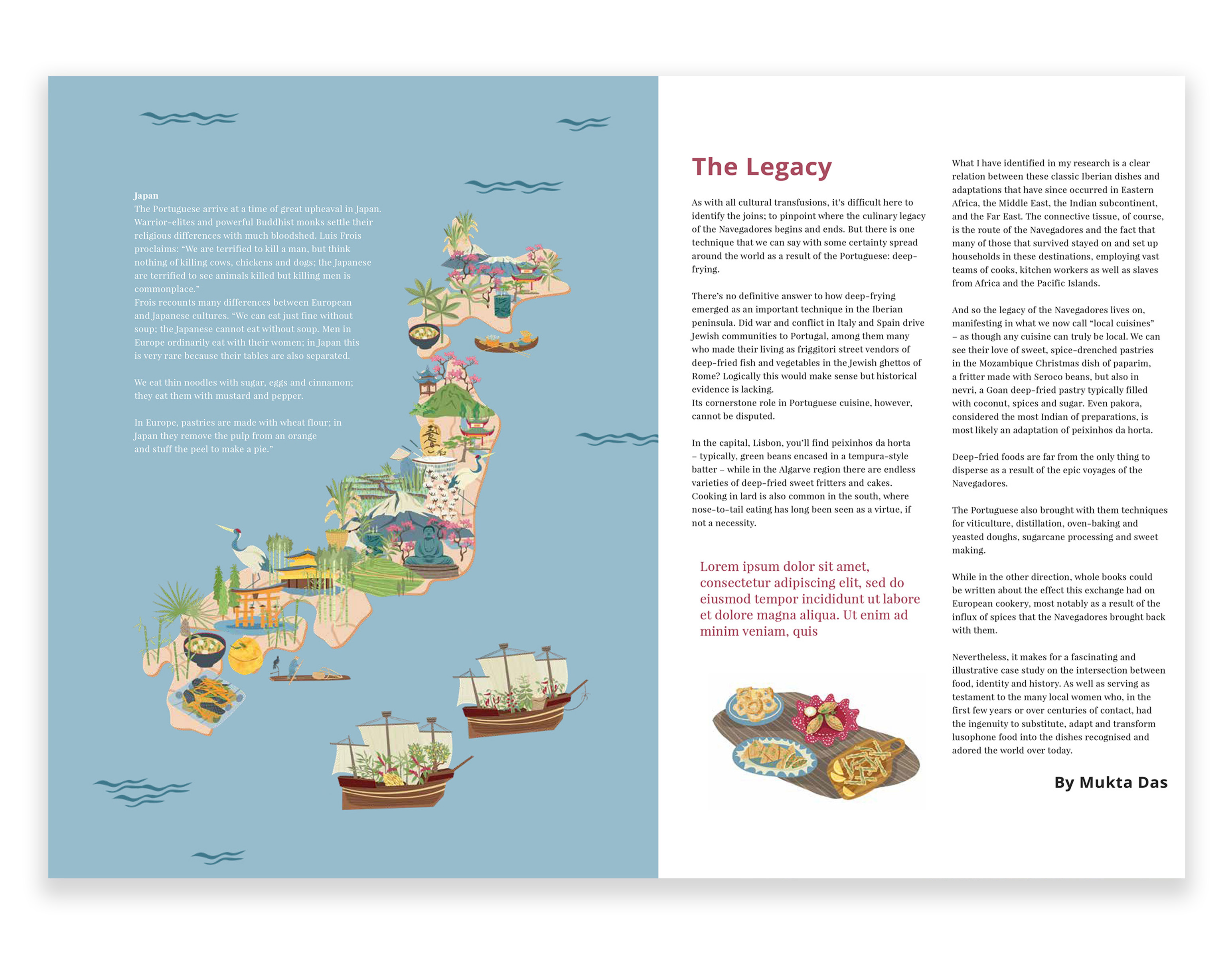
Mapping the Maritime
A series of illustrated maps relating to an article exploring Maritime trading, and mapping the extrordinary journey undertaken by the Portuguese Navegadores in the 15th century. Maps include Africa, China, Iran, India, Japan & Portugal.
Article wasn’t published
![]()
![]()
![]()
![]()
![]()
![]()
![]()
![]()
![]()
![]()
![]()
![]()
![]()
![]()
![]()
![]()
![]()
A series of illustrated maps relating to an article exploring Maritime trading, and mapping the extrordinary journey undertaken by the Portuguese Navegadores in the 15th century. Maps include Africa, China, Iran, India, Japan & Portugal.
Article wasn’t published